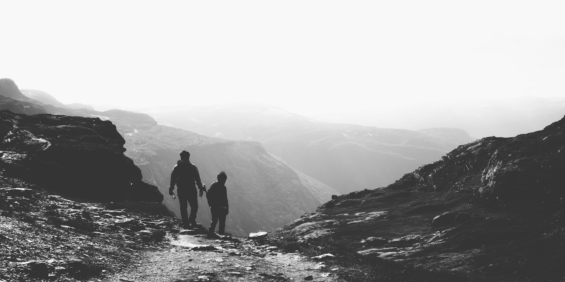
During our trip to Norway we were lucky to be able to hike towards the famous Trolltunga (the Troll’s tongue). The hike is both breathtaking and exhausting. The Trolltunga trail is 22 km long and has a height difference of about 900 meters. It took us 11 hours to finish the whole trail. The hike itself contains some steep parts but it’s doable for most people. The most difficult element of this hike is the length. Despite the length and painful feet it was so worth it!
Trolltunga trail
The night before the hike we stayed in the city Odda and early in the morning we drove towards Skjeggedal, the start of the hike. Before starting the Trolltunga trail make sure that you are well prepared. It is a long trail that you can enjoy best when you have the proper equipment and enough food! At the start of the trail you’ll find the following reminder of when en how to hike towards the Trolltunga.
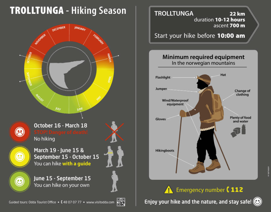
(c) http://www.hardangerfjord.com/odda/trolltunga
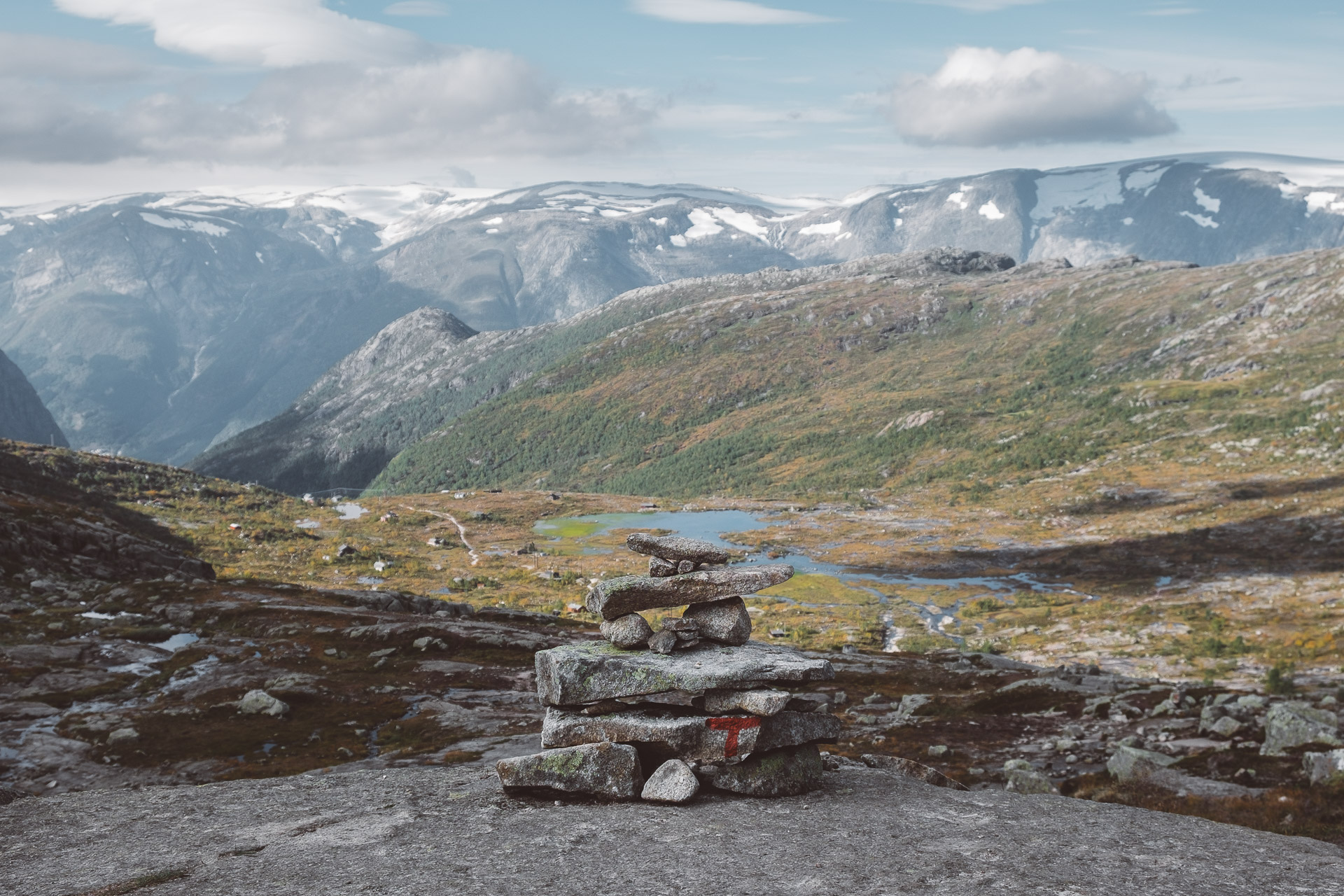
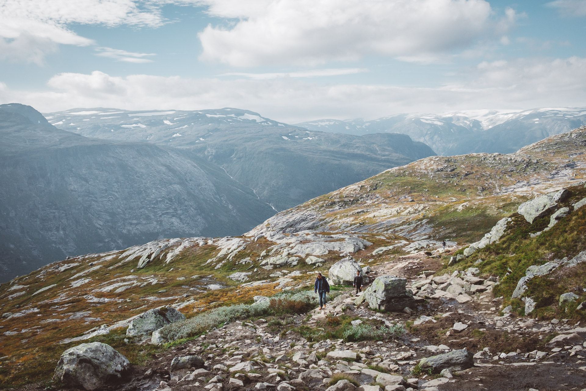
The hike starts around 400m at the Skjeggedal parking area and goes up to the highest point of the trail at 1200m. The trail has clear directions, just follow the red “T” painted on the stones. Along the way you’ll find some rivers from where you can refill your bottles. We brought 4 medium bottles of water (on a hot day) and were able to refill it during the hike. If you want to walk together with a guide you can book one at Trolltunga Active, they also offer a via ferrata for the adventurous types.
Trolltunga hike: km 1 – 3
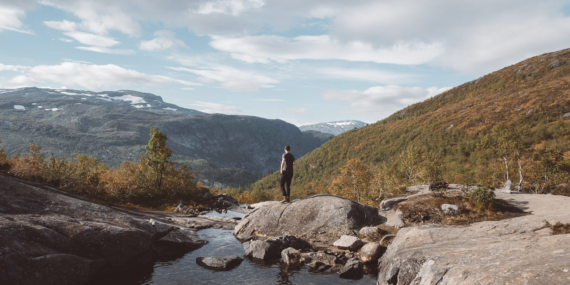
The first (and therefore also the last) kilometer is the steepest and heaviest part of the trail. In the first 2 kilometers you’ll ascent through the forest from around 400m above sea level to around 850m. If there is rain these are the muddiest kilometers you’ll encounter. The third kilometer starts of quite nice, you can rest a bit from the steep first kilometres and walk without ascending or descending too much.
Trolltunga hike: km 4 – 6
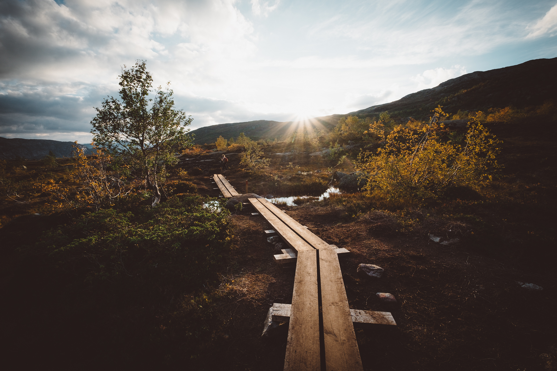
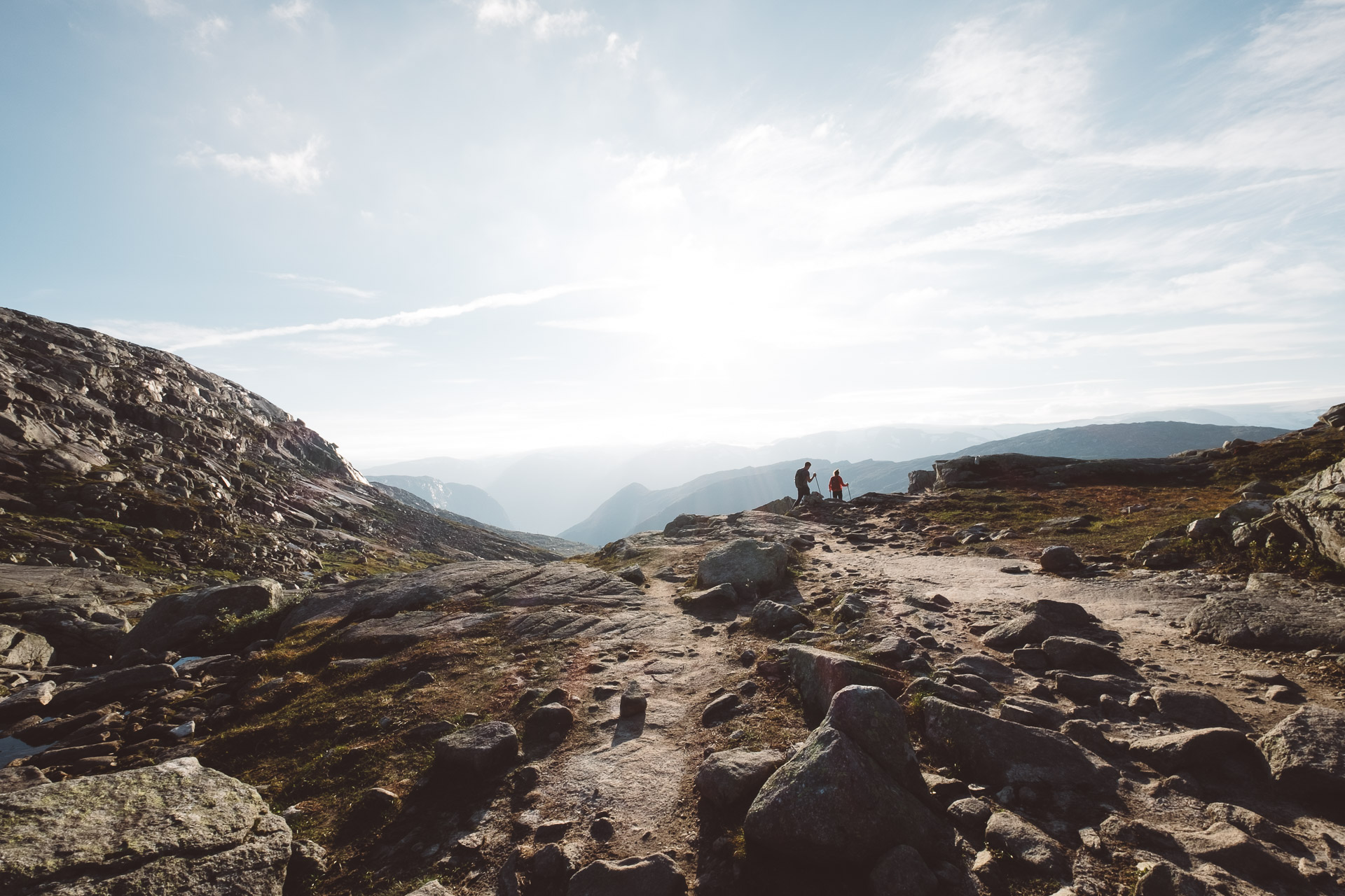
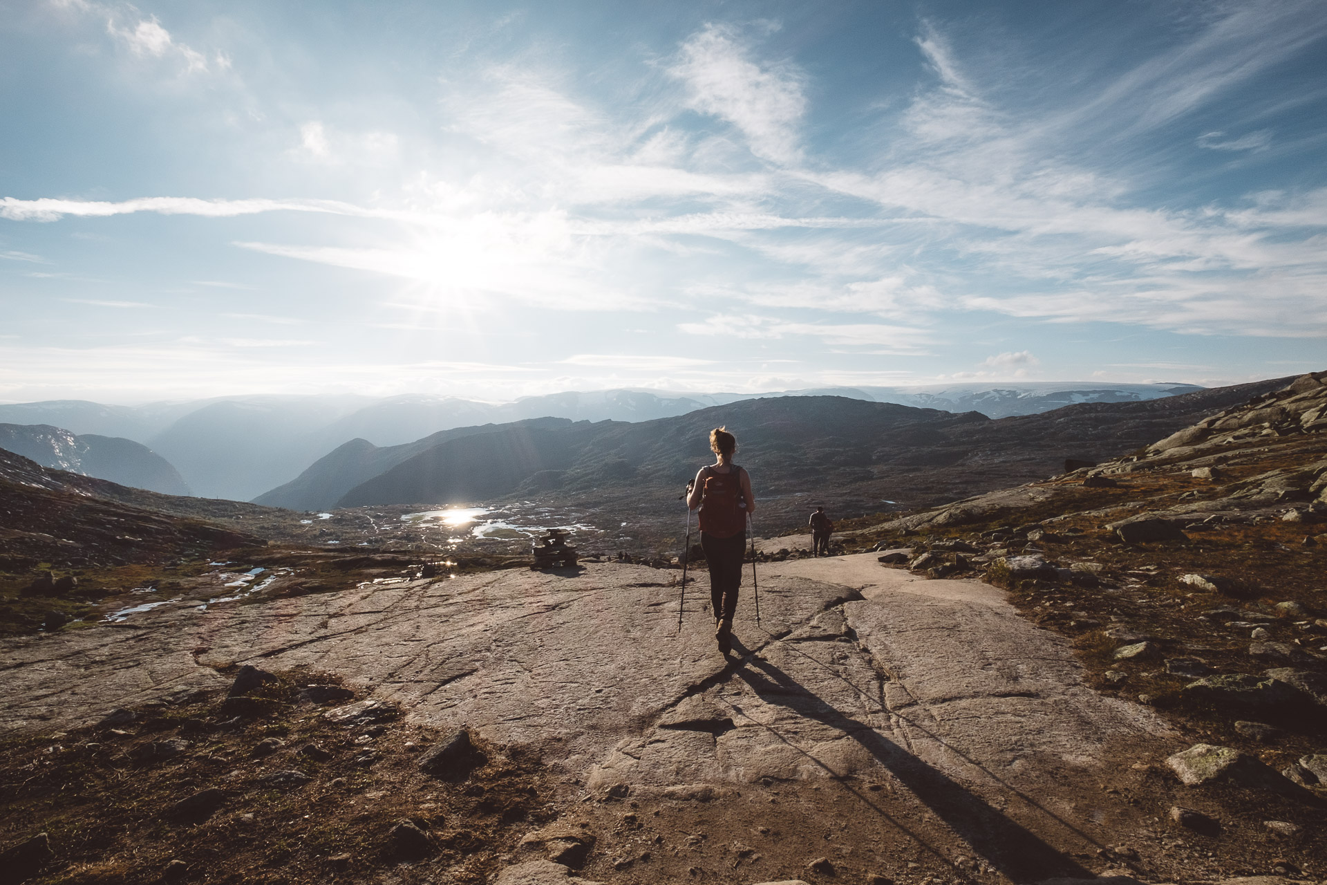
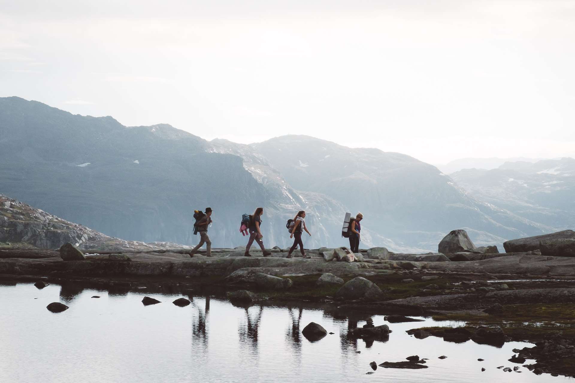
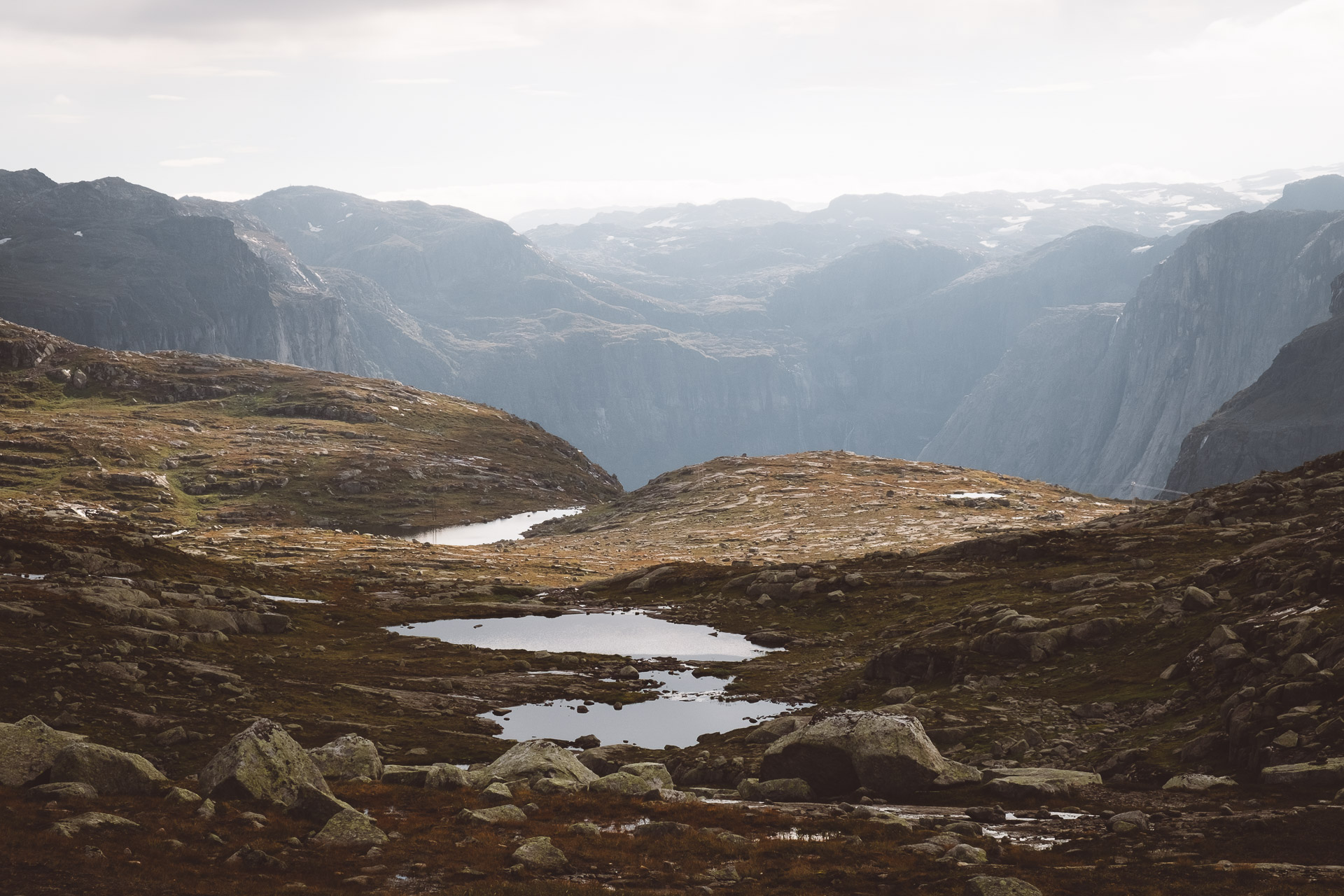
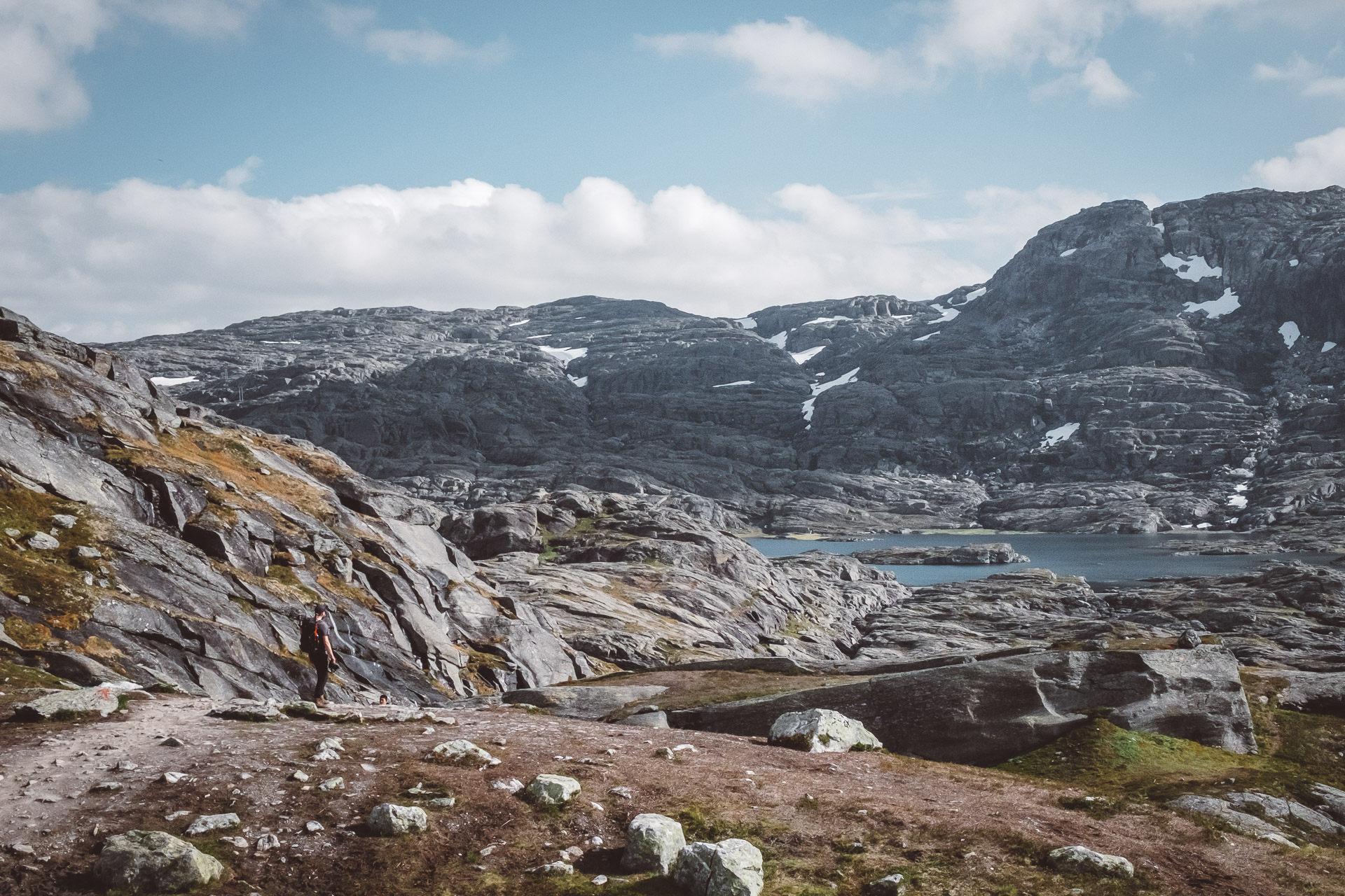
The second heavy and steep part begins just before the start of kilometer 4. You’ll need to climb up until the 4km sign before you can continue a more easy path. When you made it up onto the hill you’ll keep walking the rest of the trail around this height! No steep ascents or descents anymore before arriving to Trolltunga. In kilometer 5 and 6 you’ll pass by a lot of small lakes. You’ll go up and down a bit during these kilometres but it is an easy walk. You’ll probably start feeling your feet already here. 🙂
Trolltunga hike: km 7 – 9
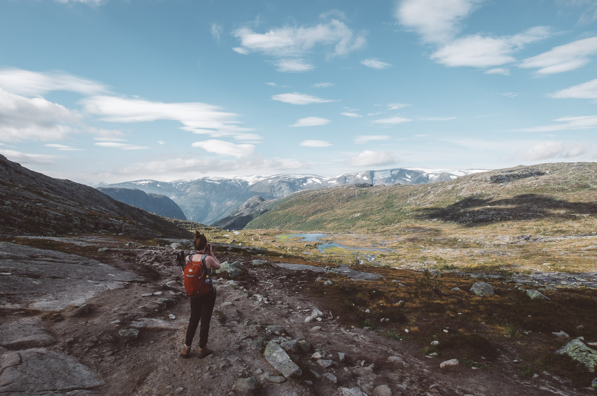
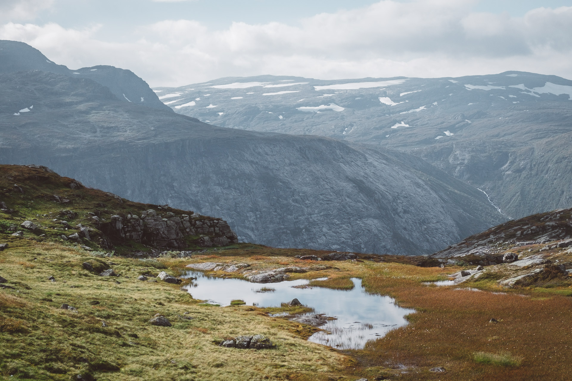
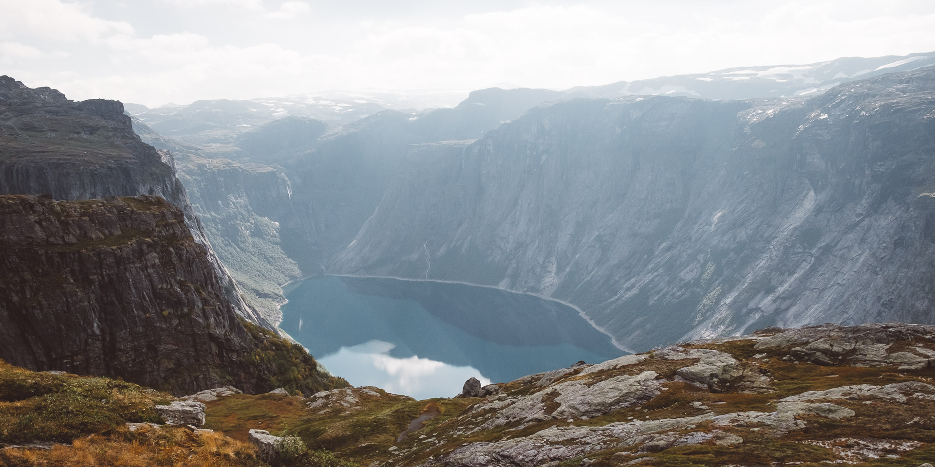
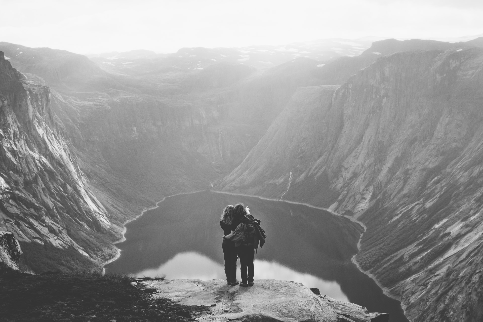
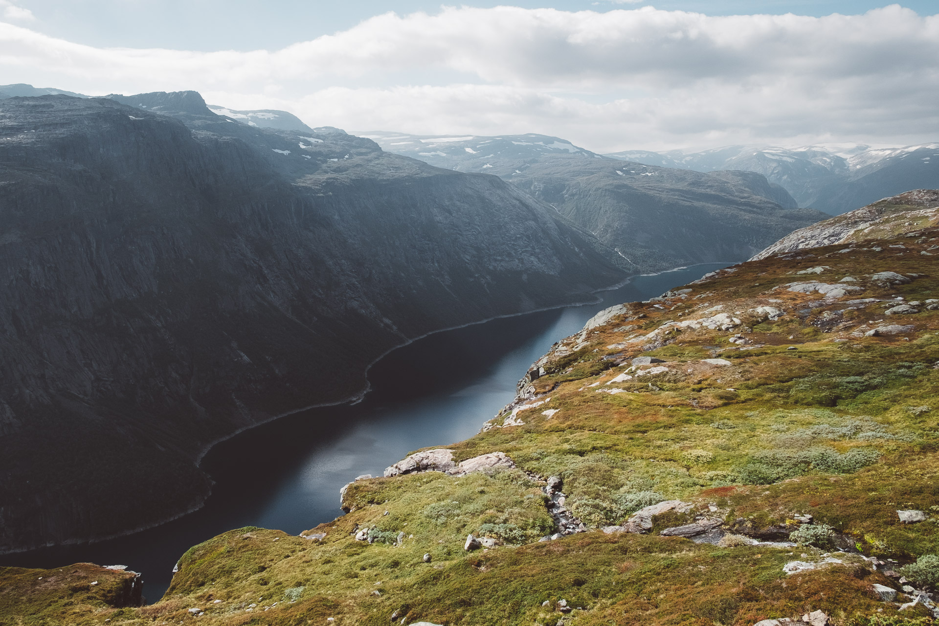
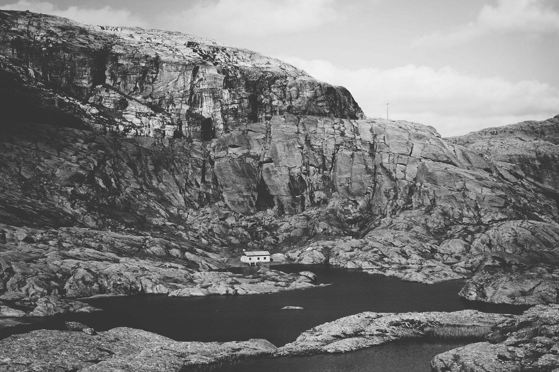
When you are at 6.8km you’ll see a safe house that is only there for emergency cases when you surprisingly find yourself in bad weather conditions. In these kilometers you’ll get the first amazing glimpse of the lake Ringedalsvannet. These views are as amazing as Trolltunga itself, so take your time to enjoy this part!
Trolltunga hike: km 10 – 11
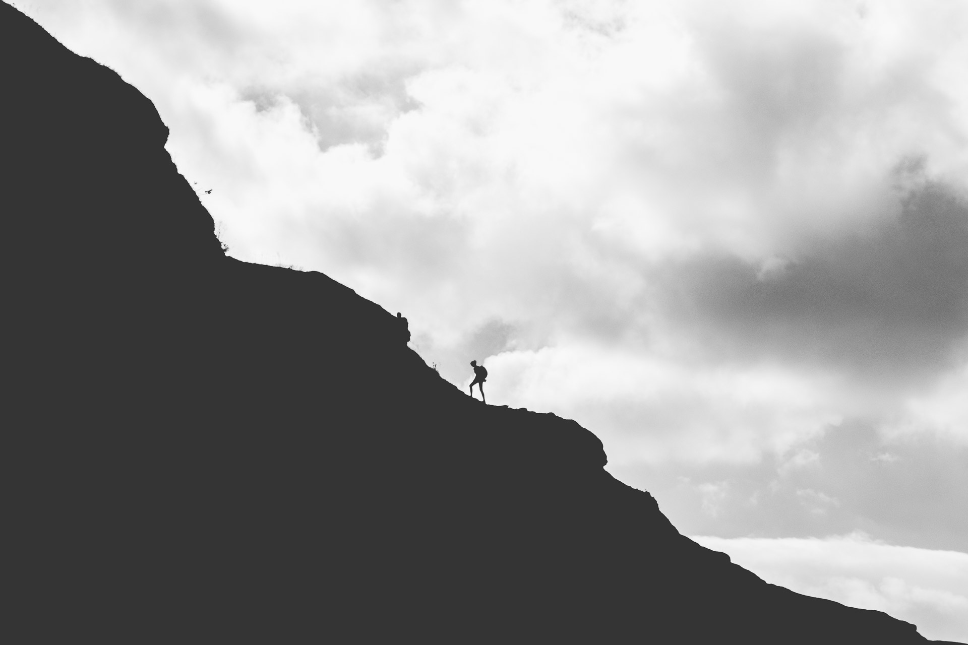
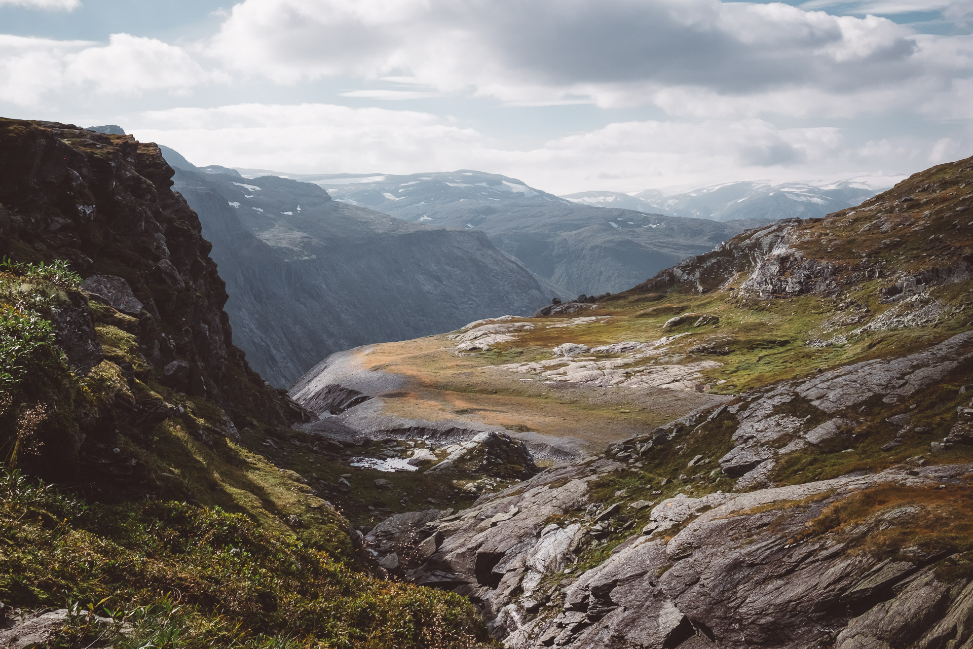
In the last few kilometres you’ll go a bit land in wards again, away from the beautiful view of the lake. You’ll have to cross bigger stones and climb a bit. The last kilometer seems longer than all the other ones. Trolltunga is at 11,35km, so it actually is a longer kilometer. The first glimpse of Trolltunga is probably the big crowd that is sitting there or waiting in line to stand on the famous Trolltunga stone.
Trolltunga
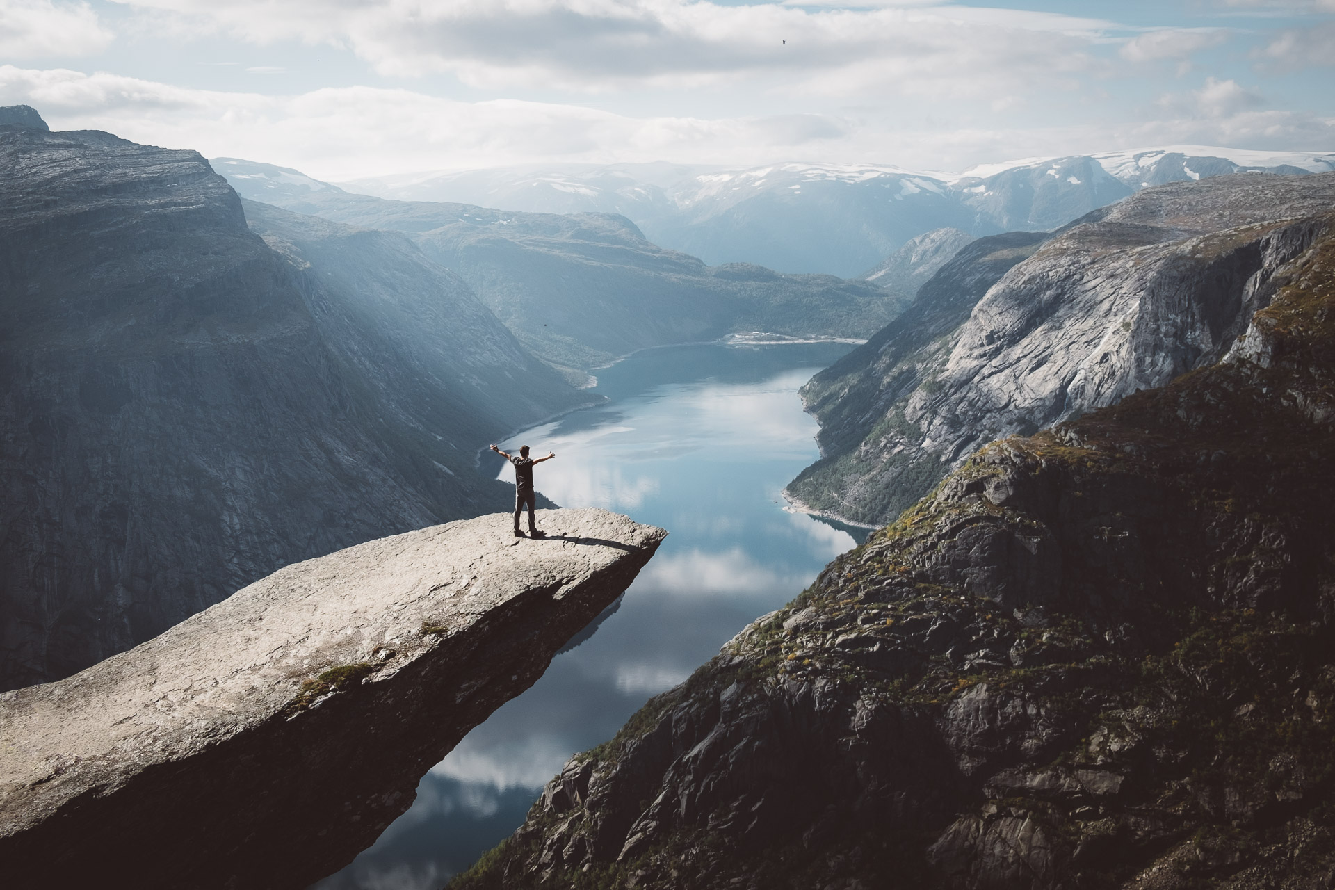
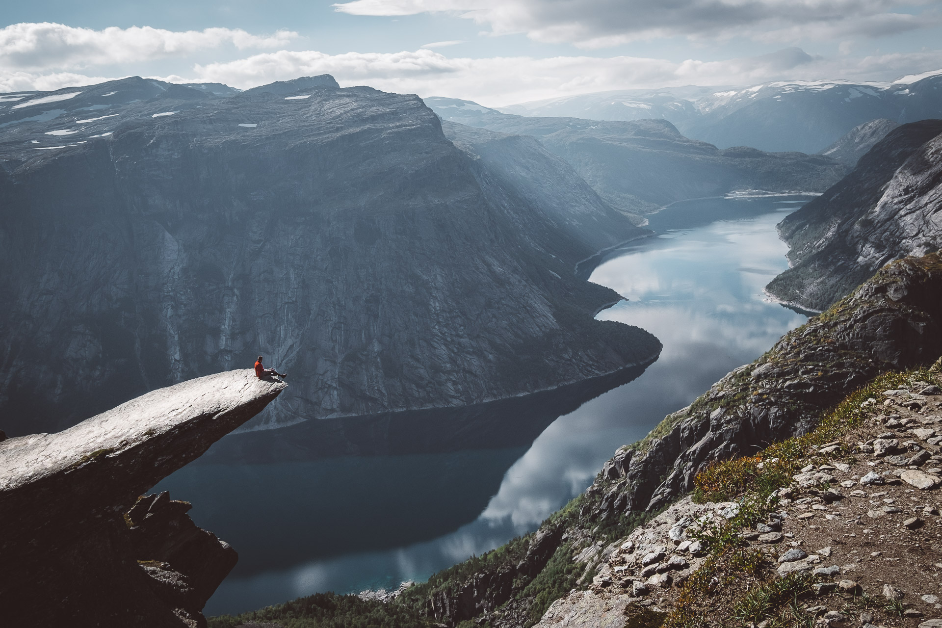
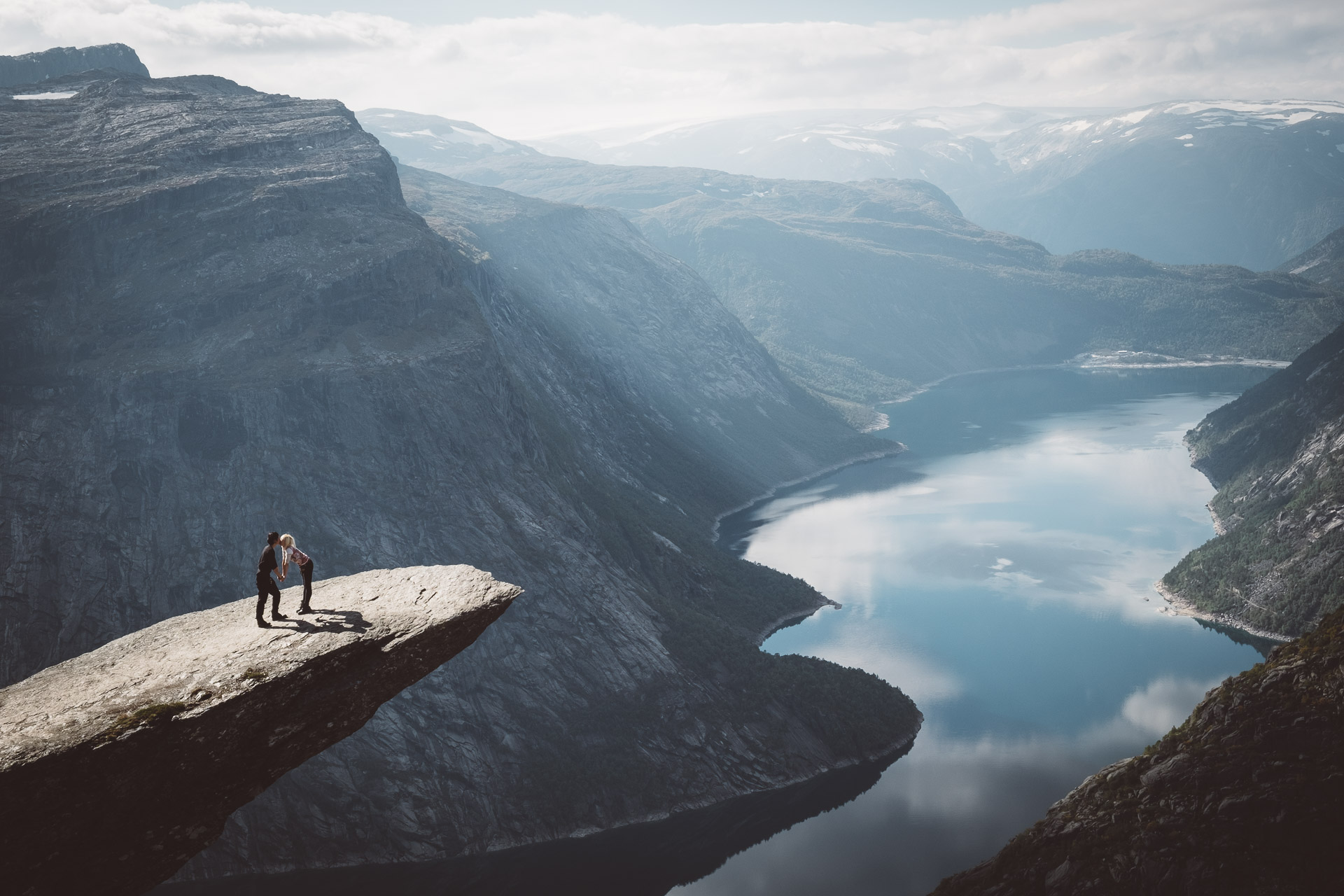
You’ve walked all the way for this view. It is breathtaking! If you dare you can make the classic photo on the stone itself. It can take a while before it is your turn. Despite the crowd it is truly an amazing viewpoint and definitely worth those 11 kilometres hiking. It is quite funny and scary to see many people posing for that beautiful shot!
Trolltunga hike: return
Then it is time to walk back, still 11 km left! Don’t underestimate your way back, it is a long way down to the parking area with a set of painful feet. The advantage is that you’ve already walked the trail and you’ll know what to expect. The steepest kilometer, now the last kilometer, is quite hard. Luckily it is also the last kilometer before you can crawl to your car and don’t move for the next couple of days ;). We definitely loved this amazing hike. The views are rewarding and it feels like quite an achievement when you’ve concurred those 22km in one day!
The trail is situated in the Hardangerfjord region. Read more about other places to go in this beautiful area in Norway: Fjord Norway – Hardangerfjord.
This post was made in partnership with Visit Norway and Fjord Norway who sponsored our trip to the fjords. All our opinions and photos are our own.


7 Comments
These are amazing!! Which lenses you prefer for traveling with the X-T2? I’m considering purchasing the 16mm 1.4 for landscape.
Hi Bobby! Thank you! We mostly use the 10-24mm, 55-200mm and 18-55mm during our travels. We love the X-T2! 🙂
Awesome post.
Very good post. I absolutely appreciate this site.
Thanks!
I don’t commonly comment but I gotta tell regards for the post on this perfect one :D.
Remarkable! Its genuinely awesome post, I have got much clear idea regarding from this post.
I would like to thank you for the efforts you’ve put in penning this blog.
I really hope to view the same high-grade content from you later on as well.
In truth, your creative writing abilities has motivated me to
get my own, personal site now 😉