From all the churches we have seen during our travels there isn’t one situated as beautifully as the one in Heiligenblut. Heiligenblut is a small town next to the Grossglockner. It is a starting point for many beautiful hikes. At the Kaiser-Franz-Josefs-Hohe you can watch the longest glacier in Austria. Be prepared for amazing mountain views, a powerful waterfall, a retreating glacier, stubborn cows and ugly but lovely marmots!
Heiligenblut
Heiligenblut am Grossglockner is situated in a valley of the Hohe Tauern in the Alps. Heiligenblut lies at the foot of the Grossglockner, the highest mountain in Austria. It is a small town with a few restaurants where you can eat typical Austrian dishes.
Heiligenblut was the first hiking trip of Herbert and me together. Herbert had already visited Heiligenblut a few years earlier and loved to show me the beauty of this area in the Alps. I had seen his photos of this place and was amazed by the picture he took of the St. Vincent Church. This Church was built on a small hill with in the background a view of the Grossglockner. Of course we both took another picture of this classic view.
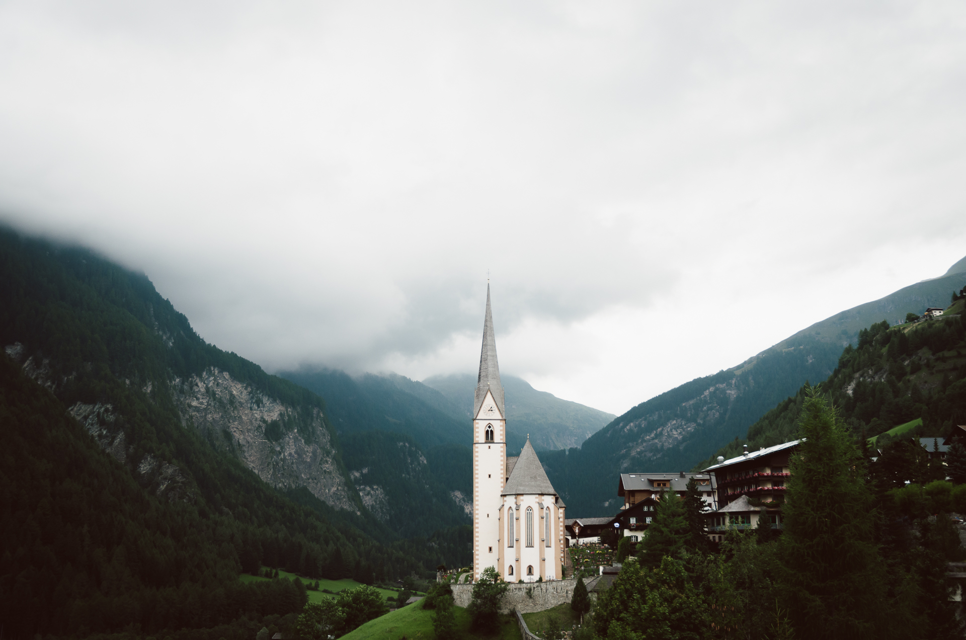
St. Vincent Church in Heiligenblut
When you spend a few nights in Heiligenblutt you’ll have lots of places to go. There are several hikes in the valley, you can hike near the Grossglocker or you can walk towards the Pasterze glacier.
Hiking from Schareck
One possible hike is a walk through the wonderful green valley next to Heiligenblut. You’ll have to take the gondola from Heiligenblut to Schareck. You can walk along the mountain ridge which is partly the border between the provinces Carinthia and Salzburg. Don’t be surprised when you run into some cows. They were standing on the hiking path and were not planning to let us pass. In return for that they let us take some photos.
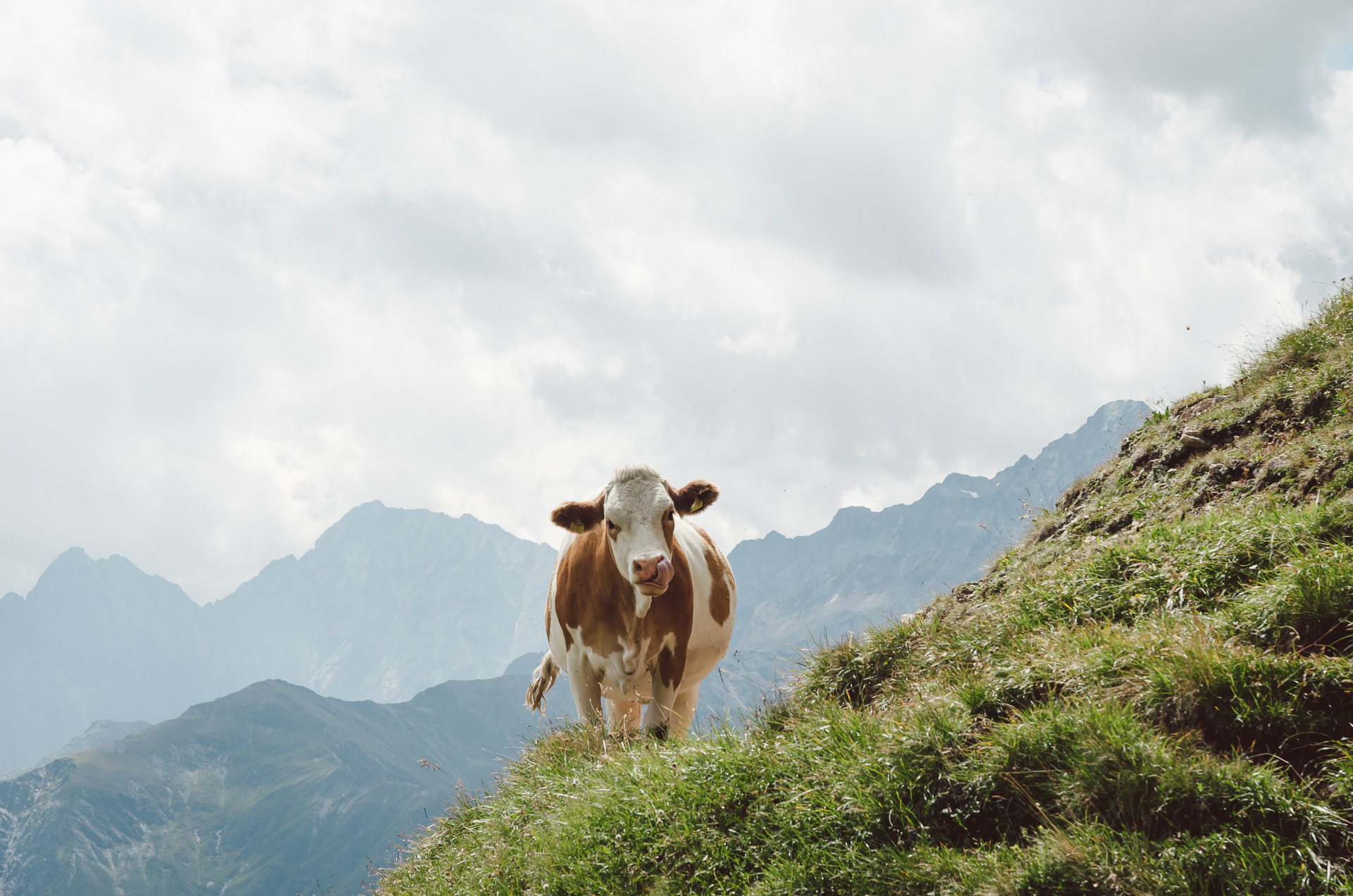
Cow in the Alps near Schareck

Lovely Cow Portrait in the Austrian Alps near Schareck
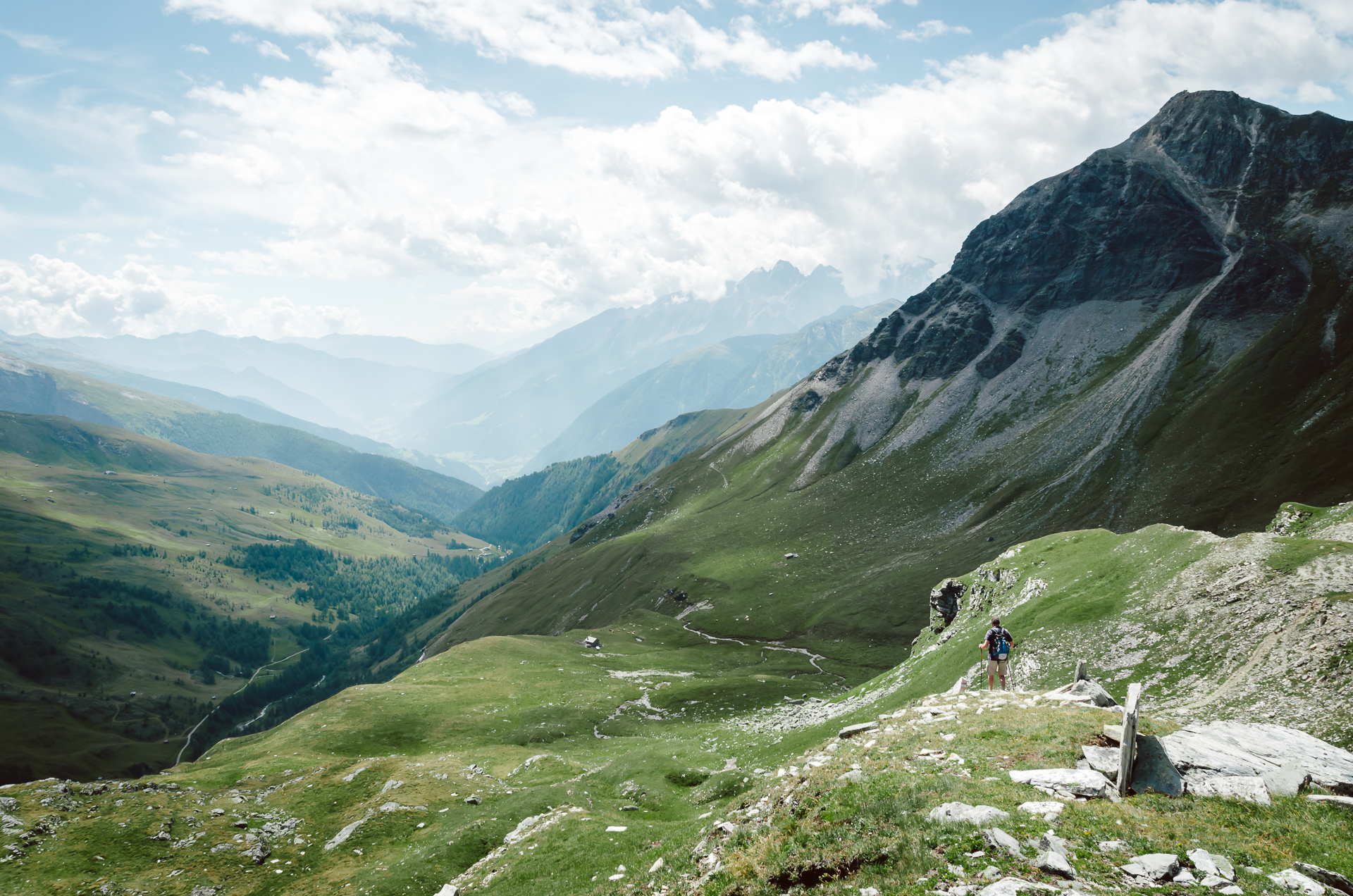
Hiking next to Schareck
Gossnitz Wasserfall
An example of a hike down in the valley is the trail towards the Gossnitz Waterfall. The starting point of the trail is at the Heiligenblut Parking area “Retschitzbrücke” (town district Winkl). The walk takes about 2 hours and you can follow the trail “Kachlmoor”. The trail leads you through the forest towards a wooden bridge where you can pass the river. Then you’ll find a slippy staircase towards the viewpoint of the 70m high Gossnitz Waterfall.
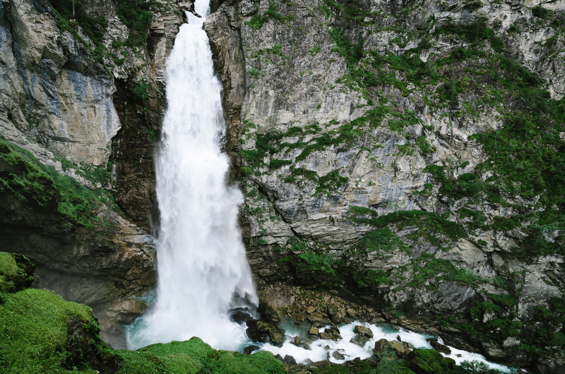
The Gossnitz Waterfall
Grossglockner HochalpenStrasse
As mentioned before the Grossglockner is the highest mountain of Austria. One way to reach Heiligenblut is through the Grossglockner HochalpenStrasse. This is a safe and wide High Alpine road. You’ll be driving most of the time above 2000m providing you with amazing views.
You’ll have to pay toll to support the maintenance of this High Alpine Road. It’s around 35 euro for a day ticket and 54 euro for 30 days. If you are spending the night in Heiligenblut it is possible this entrance is included in your hotel price. When Herbert and I drove the road it was foggy until we arrived at the top. We were lucky that some of the clouds went away so we could enjoy the view.
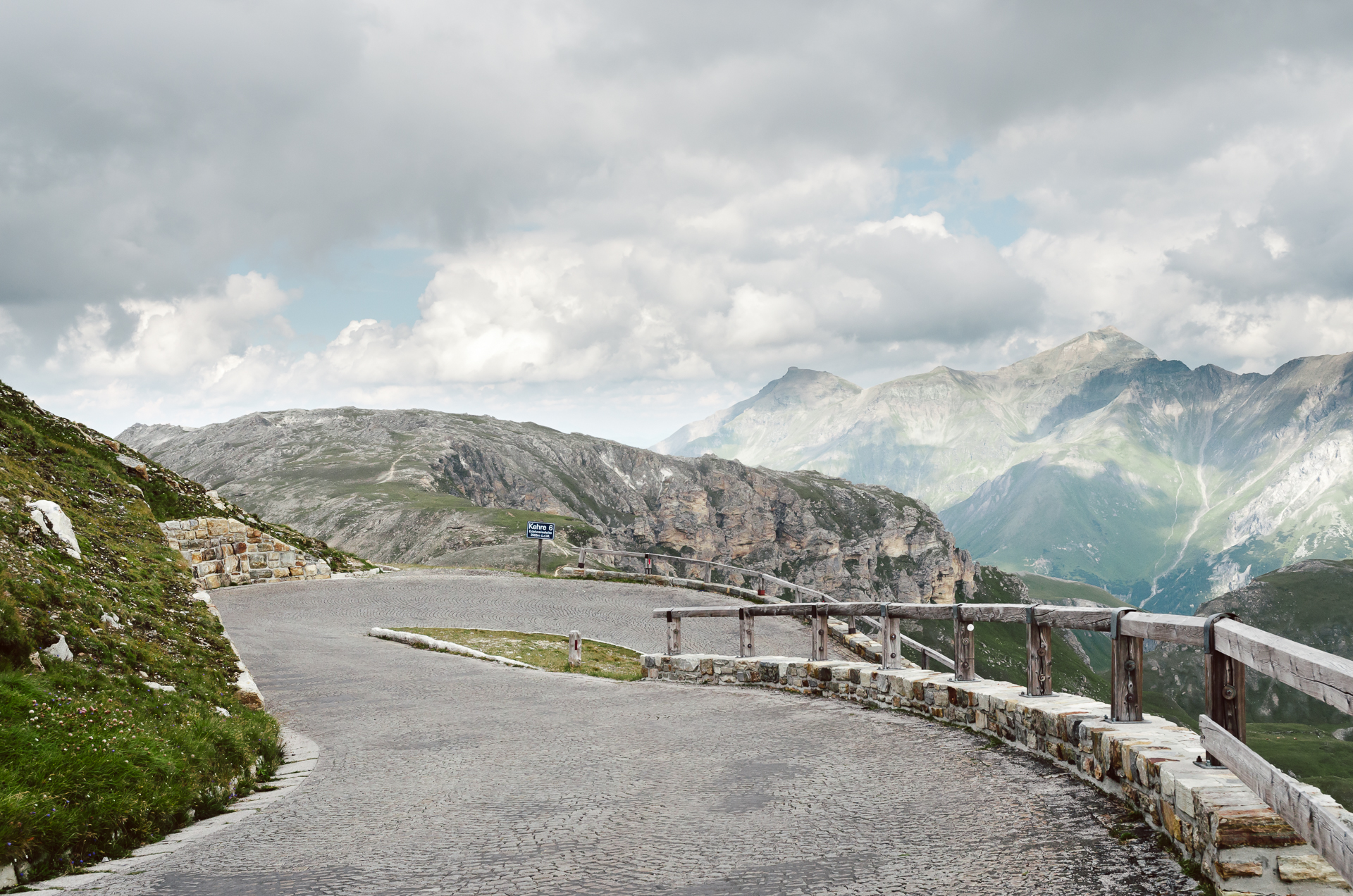
Grossglockner High Alpine Road
Kaiser-Franz-Josefs-Hohe
Kaiser-Franz-Josefs-Hohe is a viewpoint where you can view the Pasterze glacier. It is possible to hike towards the bottom of the Pasterze glacier. It is about 8.5 kilometer in length, which makes it the longest glacier in Austria. The hike starts at the viewing point. You’ll descent down from the viewing point and walk alongside the glacier. Finally you can reach the bottom of the glacier. If you are lucky you can find some blue ice or small ice caves at the bottom of the Pasterze glacier.
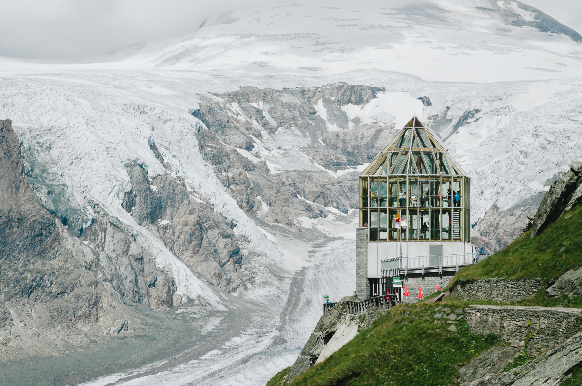
Viewpoint Kaiser-Franz-Josefs-Hohe
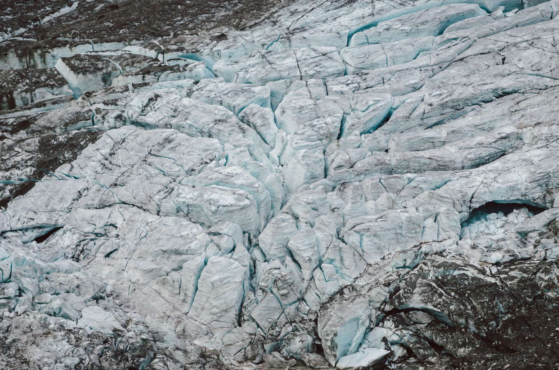
The Pasterze Glacier

The bottom of the Pasterze glacier
During this hike you’ll encounter orange signs with year numbers. This is where the bottom of the glacier was in that particularly year. The length of the glacier decreases about 10m each year. Such a strange and sad idea that the glaciers will probably disappear in the future. The hike takes about 45 minutes to descent and 1,5 hours to climb back to the viewpoint.
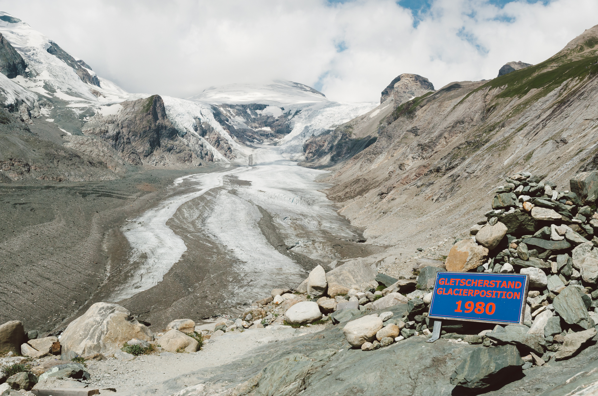
Hiking towards the Pasterze Glacier
When you are at the viewpoint you’ve got a good chance of spotting some marmots. There is an area (shown on the map) where you can find marmots that are used to people. You can get quite close in order to take some pictures of them. The marmots you’ll encounter during the hikes are very shy but you can also take photos of them from a distance.

Marmot at Kaiser-Franz-Josefs-Hohe
Another beautiful hike is the hiking trail towards the Oberwalderhütte at 2973m. It starts at the viewpoint of Kaiser-Franz-Josefs-Hohe. You’ll first walk about 15 minutes through caves. Then you’ll continue your walk for about 4 hours until you have reached the hut. During the first part of the hike you’ll see the Pasterze glacier on your left. Then you will encounter a small lake from where you have to climb on rocks to continue your journey. Just follow the well-marked red and white striped poles. When you almost arrive you’ll have to cross the bottom of a small glacier. You don’t need any special equipment for this. When you’ve arrived at the Oberwalderhütte you can reward yourself with a nice cold beer! You’ve made it, so enjoy the view before you go back!
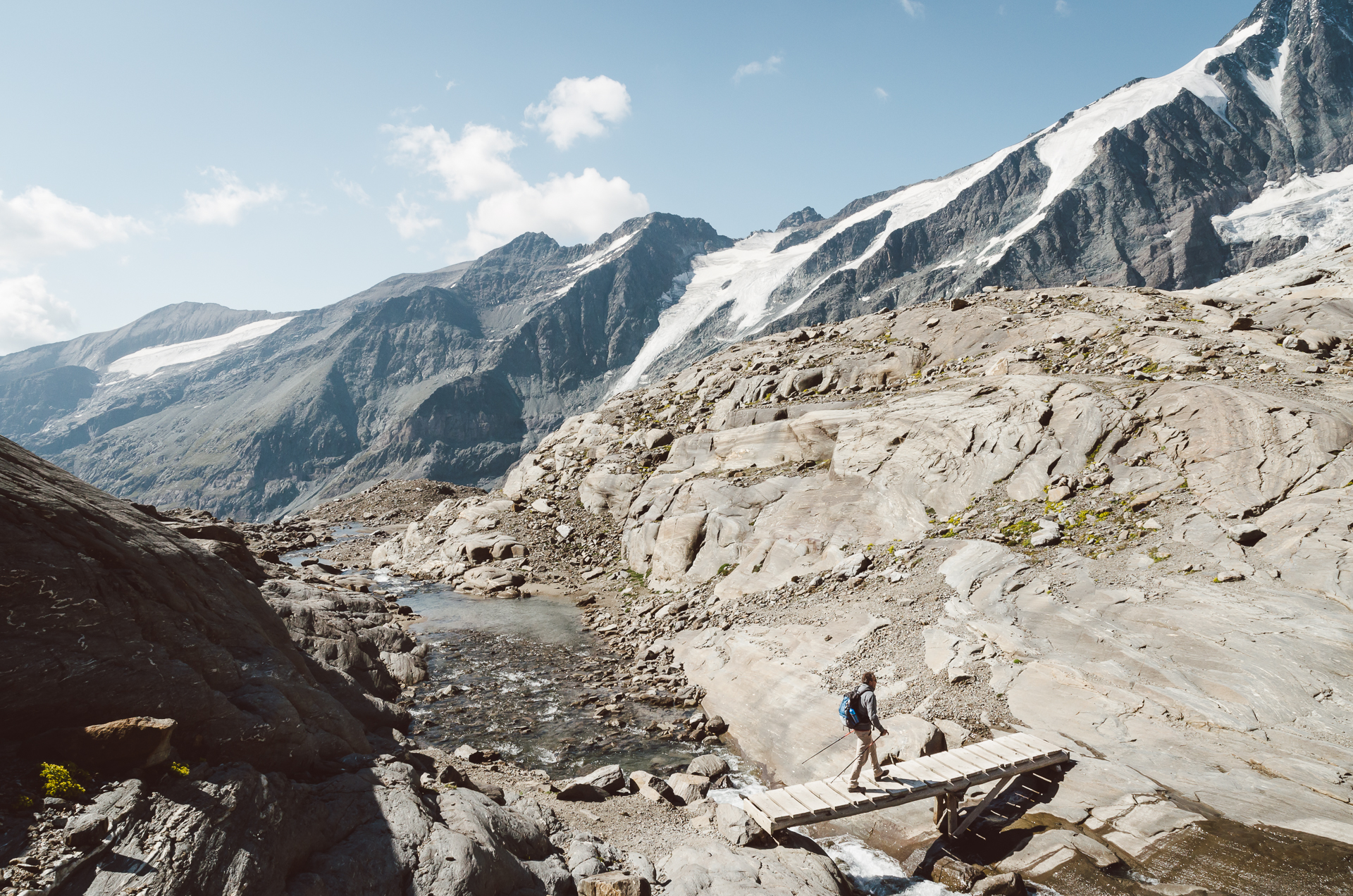
Hike to Oberwalderhütte
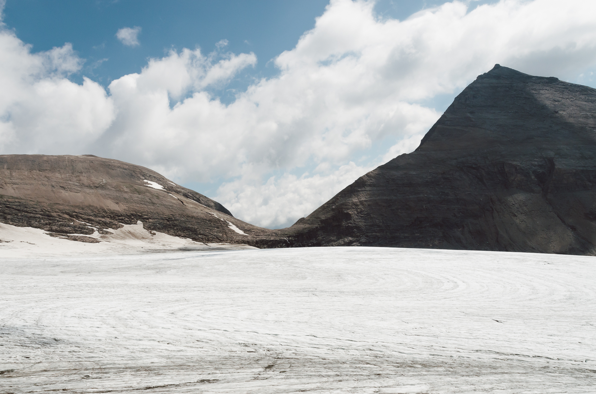
Hike to Oberwalderhütte
In sum, Heiligenblut is a beautiful little town in Austria. The surroundings give you lots of opportunities to hike and enjoy the Austrian Alps!
Have you been here too? Don’t hesitate to share your photos or experiences with us!


Leave a reply